 14°
14° Haghpat – Tsaghkashat Trail
The Haghpat – Tsaghkashat trail is one of the most beautiful and interesting mountaineering and hiking routes in Armenia. It connects the villages of Haghpat and Tsaghkashat in the Lori region, passing through the forested slopes, clearings, and the peak of Mount Surb Luys, the Acher River canyon, and, of course, historical and cultural monuments. The trail consists of two parts: the ascent from Haghpat to the mountain peak and the descent to Tsaghkashat village, followed by a return to Haghpat along the river.
The height of Mount Surb Luys is 1,857 m, and the relative elevation from the starting point of the trail to the peak is about 870 m. Tsaghkashat village is located at an altitude of 1,500 to 1,590 m above sea level, from where, after traveling about 8 km through the canyon, you will descend to a section located at an altitude of 830 m above sea level.
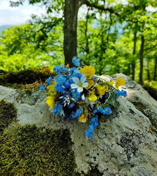
A magnificent view opens from the peak of Mount Surb Luys towards the Virahayots and Gugarats mountains, the Debed canyon, and neighboring settlements. The dense forests create a fairy-tale impression and leave unforgettable memories. Overall, the mountain and surrounding areas are of great value from both an ecosystem and historical-cultural perspective.
Be sure to visit the historical and cultural monuments along the route. Located in the square across from Haghpat Monastery is Jgrashen Church, built in 1195. In a nearby small canyon lies Zoravank Church, constructed in 1279. In the village of Tsaghkashat, you will find a 13th-century church surrounded by ancient khachkars (cross-stones). To explore the Haghpat Monastery itself, please refer to the Haghpat Monastery Guide.
Technical Description and Guide
The trail is difficult. The total length is 17 km, which will take about 7-8 hours to overcome (depending on the hiker’s physical fitness). It is recommended to start the hike early in the morning. The trail is most beautiful during the spring-autumn months. The route and stop points are presented on the map, and the description is below.
The hike starts from the Haghpat Monastery, but if you are in another part of the village, consider the Haghpat Viewpoint as the starting point. There is a free parking lot in the square in front of the monastery. You should walk along the asphalt road of the square towards the canyon (follow the red line), where Zoravank Church is located (it is surrounded by private property, so contact the owner of the area to enter). The ascent begins from there.
Walk towards the Haghpat Viewpoint, which is a platform offering a beautiful panorama of the Haghpat Monastery. Walking forward, passing by private gardens and then through a clearing, you will reach a forest of stunted hornbeams. Follow the trail so as not to get lost in the forest. A wider clearing will open before you, after crossing which you will find yourself at the entrance of a forest with giant trees.
Inside the forest, walk exclusively on the trail, as there are dangerous sections and the possibility of getting lost. The winding route will take you to the peak, which is a small clearing, mostly without trees.
To reach Tsaghkashat village, you must continue the path from the mountain peak towards the southeast (move along the red line). Entering the forest, walk down the fairy-tale trail. Passing through the oak forest and sometimes small clearings, you will reach the village. There is a drinking water source at the beginning of the settlement. From there, walk along the village road towards Tsaghkashat Church.
The return trail starts from the church (see the orange line), which descends from Tsaghkashat into the canyon, passes along the Acher River, and reaches the secondary road leading to Haghpat village. You should walk up along the dirt road, cover some distance, and join the red line near the Haghpat Viewpoint. From that point to the Haghpat Monastery, the road is already familiar to you.
Warning
-
*Please do not damage nature and historical-cultural monuments. Such actions are criminally punishable.
-
*It is strictly forbidden to build a fire; the forest is in a fire-prone zone. Even a cigarette butt can be disastrous. Damaging nature is a criminally punishable act.
-
*Please take your trash with you and dispose of it in the bins located in the village.
-
*Do not collect mushrooms; most of them are poisonous.
-
*The European Yew (Taxus baccata) is a poisonous tree; if you notice it, observe from a distance, do not touch the branches or fruits.
-
*Be careful of snakes in rocky and sunny areas.
Tips
-
*Avoid hiking during dark hours, in the presence of snow cover, fog, lightning, or heavy rain.
-
*Walk exclusively on the trail in the forest to avoid getting lost or dangerous sections.
-
*Wear hiking shoes and hiking clothes (preferably bright colors).
-
*Take 1-2 liters of water and food. There is a spring next to the Haghpat Monastery square (if there is a rubber hose connected to the tap, remove it temporarily to use it). Drinking water sources on the trail are marked on the map.
-
*When encountering shepherds’ dogs near Tsaghkashat, do not run or throw stones, but stand still calmly until the shepherd approaches.
-
*If help is needed, call 102 or 911.